Watch Video: Season’s First Snowfall Starts in Kashmir Plains, Check Latest Forecast
Watch Video: Season’s First Snowfall Starts in Kashmir Plains, Check Latest Forecast
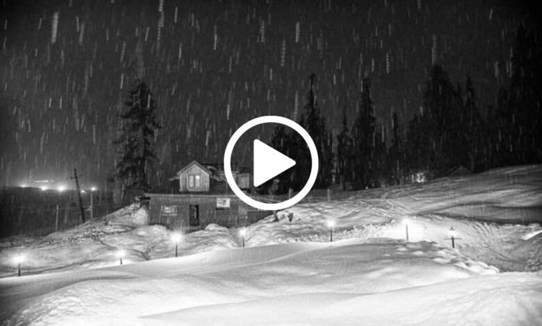
The winter season in Kashmir has welcomed its first snowfall, gracing the plains of the Kupwara district with its wintry touch. Visuals captured from Pazipora Kupwara depict the serene landscape blanketed in snow.
Weather Forecast: 30 Jan – 01st Feb
A fresh Western Disturbance is poised to affect Jammu and Kashmir from today until February 1st. Anticipated under its influence are rain and snow activities, slated to initiate from this morning onwards, starting from higher altitudes. As the day progresses, a spell of rain is projected to sweep across parts of the Jammu region, particularly in Udhampur, Kishtwar, and Doda districts.
Come tomorrow morning (31st Jan), most regions in Jammu and Kashmir are expected to have experienced a spell of rain or snow. Continuing into the 31st, rain and snow activities are foreseen across the region, although central and southern Kashmir may observe lesser activity during the daytime.
Temperatures are expected to plummet significantly from the evening of the 31st, enhancing the likelihood of snowfall in the plains. Between the 31st evening and 01st February, moderate to heavy rain or snow is forecasted for the Jammu region, with heavy snowfall anticipated in its higher reaches.
Snowfall is also expected in select areas of Ramban, Kishtwar, Doda, and Kathua districts, with the possibility of 2 to 5 feet of snow accumulation over Sinthan Pass.


Furthermore, lightning and thunderstorms may occur in parts of the Jammu region during this period, warranting vigilance.
Watch Video Below:
Snowfall Expectations Across Kashmir
Between the 31st of January and 01st of February, snowfall may also grace the plains of south Kashmir, particularly in parts of Shopian, Kulgam, and Anantnag districts. Variable accumulations of snow are expected across different areas.
- No snow: 10% chance
- 1cm – 2 inches: 35% chance
- 2 – 6 inches: 35% chance
- Over 6 inches: 20% chance
In central Kashmir, the anticipated snowfall is expected to have a lesser impact compared to other areas.
- No snow: 30% chance
- 1cm – 2 inches: 45% chance
- 2 – 6 inches: 20% chance
- Over 6 inches: 5% chance
The forecast for snowfall in the plains of north Kashmir remains uncertain.
- No snow: 20% chance
- 1cm – 2 inches: 30% chance
- 2 – 6 inches: 30% chance
- Over 6 inches: 20% chance
Tourist destinations such as Gulmarg, Sonamarg, Pahalgam, and Doodhpathri are expected to witness a significant amount of snowfall.
Future Weather Outlook: 03 – 04 Feb
Another Western Disturbance, of light to moderate intensity, is anticipated to impact the region from the afternoon/evening of 03 Feb. This weather system will bring colder temperatures and the possibility of light to moderate snowfall in the plains of Kashmir.
Note:
Weather patterns may exhibit variations, potentially resulting in more rain or snow over central Kashmir than southern Kashmir.
Due to expected landslides and shooting stones, travelers are advised to reconsider journeys planned for the 01st of February, particularly along the Jammu-Srinagar National Highway.
Tourists are encouraged to opt for Sonamarg, Pahalgam, or Gulmarg for snow experiences, considering the potential closure of Sinthan Pass.


